

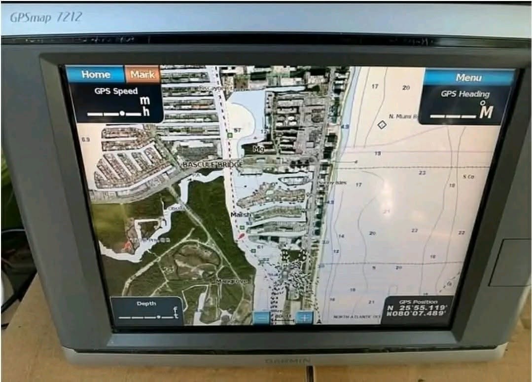
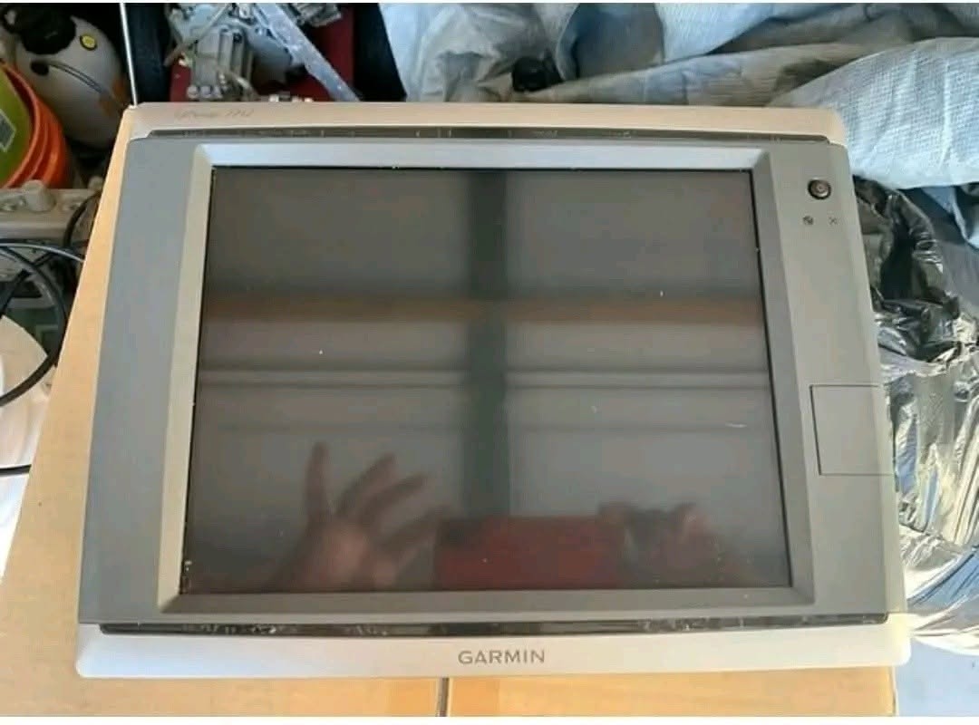

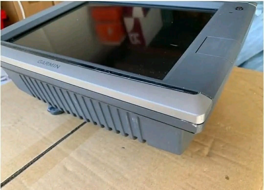



Garmin GPSMAP 7212 Touchscreen Multifunction Navigation GPS Unit
$750.00
-
Brand: Garmin
-
Model: GPSMAP 7212
-
Availability: In Stock / Ready to Ship
-
Condition: Fully Functional / Pre-Owned working condition (Tested and thoroughly inspected)
Product Overview & Features
| Listing Highlights | Quick Unit Specifications |
| 🔹 Condition & Software: Fully functional pre-owned unit. Updated to the latest official software (Version 5.10). | 🖥️ Screen Size / Type: 12.1″ Diagonal high-resolution XGA color touchscreen display. |
| 🔹 Premium Mapchip Included: Comes pre-installed/equipped with the VUS010R Southeast Florida & Bahamas BlueChart g2 Vision mapping card. | 🛥️ Network Capabilities: Fully expandable for radar, black box sonar, satellite weather, AIS, and autopilot systems. |
| 🔹 Accessories Included: Includes a protective front sun screen cover and a brand new power cable. | ⚡ Processing Power: Equipped with high-speed G Motion™ technology for ultra-smooth map panning and panning zoom redraws. |
Take the guesswork out of navigating coastal waters with this Garmin GPSMAP 7212 chartplotter/multifunction display. Known for its responsive, low-profile 12.1-inch touchscreen and powerful network versatility, this unit is engineered for boaters who require fast, reliable performance in demanding marine environments.
This turnkey navigation package includes the highly sought-after VUS010R Southeast Florida and Bahamas mapchip, providing clear satellite imagery, 3D views, and premium coastal details right out of the box. Fully updated and packaged with a protective sun cover and a new power cord, this display is ready to integrate seamlessly into your helm setup.
Technical Specifications
| Feature | Specification Details |
| Display Size | 12.1″ Diagonal ($9.7″ \times 7.3″ / 24.6 \times 18.4 \text{ cm}$) |
| Display Type | Touchscreen XGA Multi-color LCD |
| Resolution | 1024 \768 Pixels |
| Physical Dimensions | 13.3″ \9.9″ \5.8″ |
| Weight | 15.3 lbs |
| Waterproof Rating | IPX7 (Standard Marine Grade Protection) |
| Preloaded/Included Mapping | Preloaded BlueChart® g2 U.S. coastal maps + included Southeast Florida & Bahamas VUS010R vision card |
| Data Card Expansion | 1 SD™ card slot |
| Waypoints & Routes | 5,000 Waypoints | 100 Routes |
| Track Log Capacity | 50,000 points; 50 saved tracks |
| Garmin Marine Network™ Ports | 3 dedicated high-speed network ports |
| NMEA Connectivity | 4 NMEA 0183 inputs, 2 NMEA 0183 outputs, NMEA 2000® compatible |
| Video Interfaces | 2 RCA composite video inputs; 1 VGA monitor video output |
| Power Consumption | Max power usage at 10 Vdc: 45W | Max current draw at 12 Vdc: 2.9A |
Did you like this product? Add to favorites now and follow the product.
Description
The Garmin GPSMAP 7212 represents the gold standard of robust, networked bridge navigation components. Featuring a large, daylight-readable 12.1-inch XGA color touchscreen display, navigating menus, adjusting paths, and monitoring overlapping data is smooth and effortless. Propelled by Garmin’s legendary G Motion™ processing technology, this unit ensures lightning-fast map redraws and near real-time screen refresh rates, guaranteeing you never have to wait for your cartography to catch up with your hull speed.
This listing comes specialized with the highly detailed BlueChart g2 Vision mapchip for SE Florida and the Bahamas (VUS010R). This chart upgrade transforms basic mapping into an advanced navigation suite, boasting high-resolution satellite imagery, true-to-life 3D perspectives above and below the waterline, and aerial photographic references for ports, channels, and marinas. Additionally, it supports Garmin’s Auto Guidance technology, which instantly calculations a safe, navigable path that circumvents low depths, buoys, and known obstructions.
As a full-tier Marine Network hub, the GPSMAP 7212 easily expands to accommodate auxiliary helm equipment. By utilizing the 3 integrated Garmin Marine Network ports and NMEA 2000 backbone connections, you can effortlessly view and control compatible radar arrays, digital fishfinder sonar black boxes, autopilots, AIS positioning, onboard security cameras, and integrated Fusion-Link audio zones directly from the display screen. Software has been completely brought up to date with firmware version 5.10 for stable performance and enhanced device compatibility.
What’s Included in the Box
-
(1) Garmin GPSMAP 7212 12.1” Touchscreen MFD Head Unit (Pre-owned, Tested Good)
-
(1) Garmin VUS010R Southeast Florida & Bahamas BlueChart g2 Vision SD Mapchip
-
(1) Brand New Factory Replacement Power/Data Cable Array
-
(1) Protective Molded Front Face Cover (Sun Screen Guard)
Related products

Mercury 14-Pin Side Mount Control Box
Original price was: $200.00.$150.00Current price is: $150.00.
Yamaha Outboard Dual Engine Rigging Kit
Original price was: $500.00.$450.00Current price is: $450.00.

Reviews
There are no reviews yet.